Waterspout Threat, Strong Storms Hit NC Outer Banks
Radar-detected waterspout threats and 50 mph winds put communities from the Outer Banks to the northern Piedmont on alert across two days of severe weather.

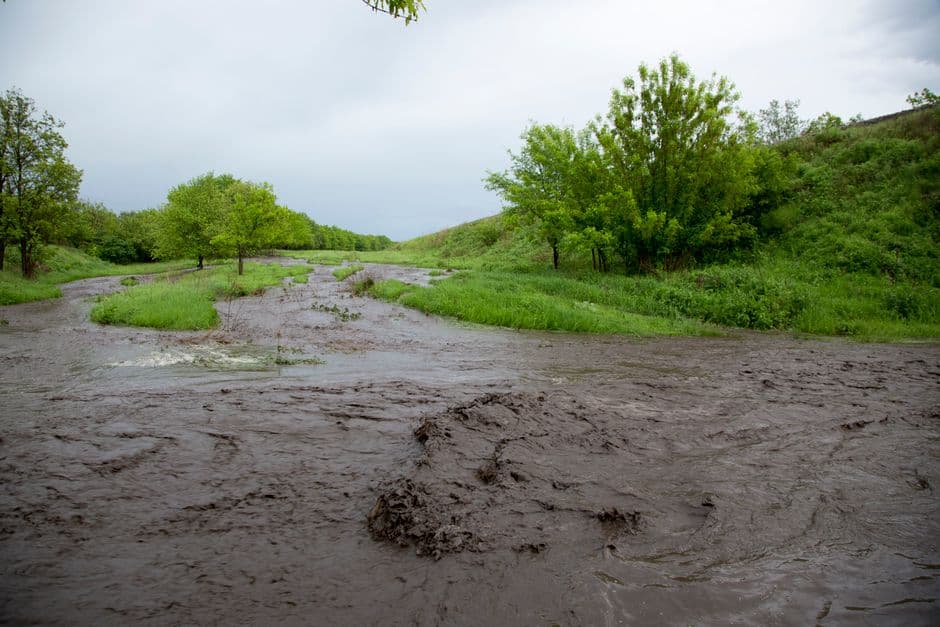
MOREHEAD CITY, NORTH CAROLINA — Strong thunderstorms swept across coastal and inland areas of North Carolina on June 18 and 19, prompting multiple Special Weather Statements from the National Weather Service as forecasters warned of waterspout threats along the Outer Banks and gusty winds reaching 50 mph across a wide area of the state.
Waterspout Warnings Along the Outer Banks
At 11:57 a.m. EDT on June 19, the NWS Newport/Morehead City office issued a Special Weather Statement after Doppler radar detected strong thunderstorms capable of producing a waterspout over Sea Level. The storm system extended along a line from near Whortonsville to near Atlantic to 6 miles southeast of Davis, moving northeast at 50 mph.
Communities included in that warning were Cedar Island, Sealevel, Atlantic, Whortonsville, Portsmouth Village, Ocracoke Light House, and Cedar Island Ferry Terminal. Forecasters cautioned that waterspouts can easily overturn boats and create locally hazardous waters, while gusty winds threatened to knock down tree limbs and blow around unsecured objects.
Less than 30 minutes later, at 12:27 p.m. EDT, the same NWS office issued a second Special Weather Statement as the storm system continued tracking northeast at 50 mph. Radar showed a line of strong thunderstorms stretching from 8 miles northwest of Ocracoke Ferry Terminal to near Portsmouth Village, again with the potential to produce waterspouts and wind gusts up to 50 mph.
The second alert covered a broader stretch of Hatteras Island and surrounding areas, including Frisco, Buxton, Salvo, Avon, Waves, Rodanthe, Portsmouth Village, Hatteras Ferry Terminal, Ocracoke Ferry Terminal, Avon Pier, Cape Hatteras Lighthouse, Hatteras Island Fishing Pier, and Ocracoke Lighthouse.
Inland Storms Strike Northern Piedmont
The previous evening, on June 18 at 10:33 p.m. EDT, the NWS Raleigh office issued its own Special Weather Statement tracking a cluster of strong thunderstorms moving northeast at 35 mph through the northern Piedmont and Halifax County areas. One storm was located 8 miles southeast of Littleton, or 13 miles southwest of Roanoke Rapids, with a second storm identified in Vance County at the time of the alert.
That inland system carried wind gust hazards of up to 50 mph, with forecasters warning of potential downed tree limbs and displaced unsecured objects. Affected locations included Roanoke Rapids, Henderson, Oxford, Louisburg, Warrenton, Halifax, Norlina, Littleton, Kittrell, and Weldon.
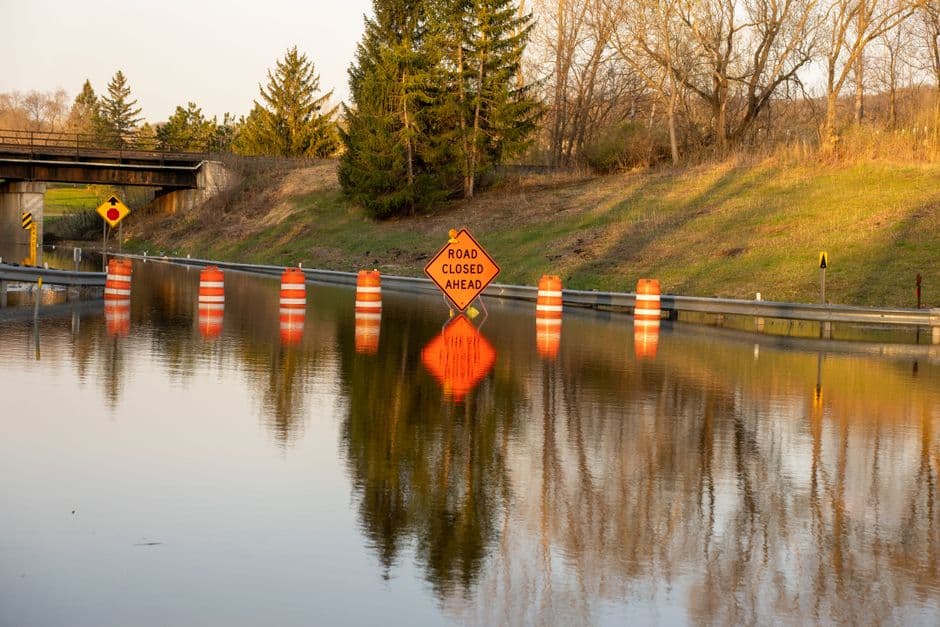
The storm system also affected major travel corridors, with hazardous conditions possible along Interstate 95 between Mile Markers 154 and 173, and along Interstate 85 between Mile Markers 201 and 233, according to the NWS Raleigh statement.
Safety Precautions Urged
The National Weather Service emphasized particular concern for boaters and watercraft operators along the coast, noting that waterspouts pose a serious overturning risk to vessels of all sizes. Residents and visitors in affected areas were advised to secure loose outdoor objects and stay clear of the water during storm activity.
All three statements were based on radar-indicated data from the NWS Newport/Morehead City and NWS Raleigh offices. No tornado warnings were issued in connection with these systems.