Mississippi River Flooding Continues Along Missouri, Illinois Stretch
Active Flood Warnings remain in effect along the Mississippi River at Chester and Louisiana through the weekend, as river levels hover above flood stage following days of elevated flow.
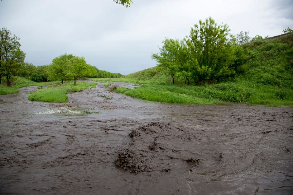
ST. LOUIS, MISSOURI — The National Weather Service in St. Louis has active Flood Warnings along the Mississippi River at two locations in Missouri and Illinois, with minor flooding occurring at Chester and Louisiana as of Friday evening, June 19.
Chester Gauge Nearing Flood Stage Drop
At Chester, the Mississippi River stood at 27.9 feet as of 9:30 p.m. CDT Friday, just above the flood stage of 27.0 feet. The river had peaked at 28.6 feet in the 24 hours prior, according to the National Weather Service.
The Flood Warning at Chester remains in effect until Sunday afternoon, June 21, at noon CDT. Forecasters expect the river to fall below flood stage Saturday morning and continue declining to 19.1 feet by Friday, June 26.
At 28.0 feet, unleveed islands near Chester and the prison farm flood, according to the National Weather Service. River forecasts are based on observed precipitation and forecast precipitation for the next 24 hours.
Louisiana Gauge Slightly Above Flood Stage
At Louisiana, Missouri, the Mississippi River registered 15.2 feet as of 9:30 p.m. CDT Friday, just above the flood stage threshold of 15.0 feet. The Flood Warning at that location runs until Monday morning, June 22, at 7:00 a.m. CDT.
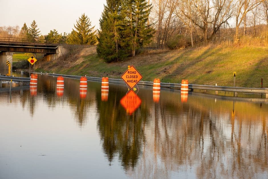
The river at Louisiana is forecast to fall below flood stage early Sunday morning and continue falling to 12.1 feet by Friday, June 26. At 15.0 feet, the first quarter mile of Edison Avenue beyond the railroad tracks begins flooding, the National Weather Service reported.
Tornado Warnings Struck West-Central Missouri Earlier This Week
Separately, the NWS office in Pleasant Hill issued a series of Tornado Warnings across west-central Missouri on Wednesday, June 17. Radar-indicated rotation prompted warnings beginning at 5:04 p.m. CDT that covered multiple counties and communities over the course of roughly 90 minutes.
Affected areas included communities in southeastern Cass County, western Henry County, and northeastern Bates County. Locations placed under one or more warnings during that period included Clinton, Garden City, Urich, Deepwater, Creighton, Hartwell, La Due, Calhoun, Coal, Tightwad, Truman Lake, Butler, Amsterdam, Amoret, Leeton, Chilhowee, Post Oak, Appleton City, and Rockville.
The storm producing warnings near Butler at 5:30 p.m. CDT was moving east at 45 mph and posed hazards including tornado and quarter-size hail. Interstate 49 between mile markers 125 and 134 was included in warning areas tied to that storm, according to the National Weather Service.
The final tornado warning in the sequence expired at 6:30 p.m. CDT, when a severe thunderstorm capable of producing a tornado was located 9 miles south of Calhoun, or 10 miles east of Clinton, moving east at 40 mph. Threats included flying debris, damage to roofs, windows, and vehicles, destruction or damage to mobile homes, and tree damage, the NWS stated.
Residents near the Mississippi River at Chester and Louisiana should continue to monitor National Weather Service updates as conditions evolve through the weekend.