Morning Fog and Scattered Storms Impact Central Ohio Region
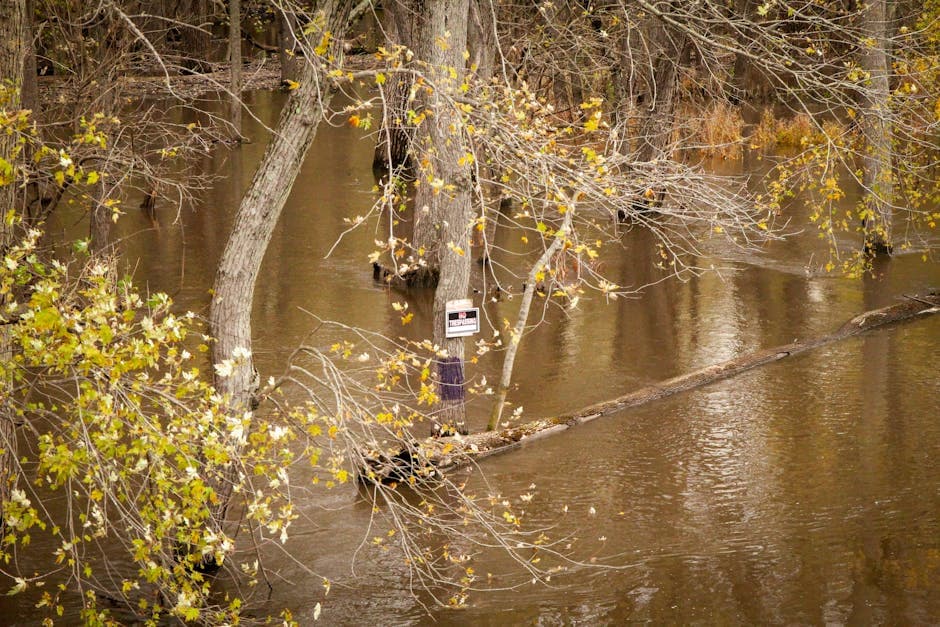
Dense fog reduces visibility to under one mile Saturday morning while Friday’s thunderstorms brought 40 mph winds and hail across southern Ohio communities.
COLUMBUS, OHIO — Dense fog covered parts of central Ohio early Saturday morning while thunderstorms with damaging winds moved through areas south of the capital city Friday afternoon, leading to multiple weather warnings from the National Weather Service.
The National Weather Service Northern Indiana issued a special weather statement at 4:38 AM EDT Saturday about patchy fog with visibility dropping below one mile at times through 10 AM. Weather officials advised drivers to slow down, allow for increased stopping distance, and use low beam headlights in these conditions.
Friday Storm Activity Brings Damaging Winds
Multiple thunderstorms tracked northeast across southern Ohio and neighboring West Virginia Friday afternoon and evening, producing wind gusts up to 40 mph and hail up to half an inch in diameter. The National Weather Service Charleston issued six separate special weather statements between 1:43 PM and 6:04 PM EDT tracking the storm systems.
The earliest storm developed near Yatesville Lake State Park at 1:42 PM EDT, moving northeast at 35 mph with wind gusts up to 40 mph. Locations impacted included Huntington, Ashland, Louisa, Wayne, Beech Fork State Park, Yatesville Lake State Park, Cannonsburg, Kenova, Catlettsburg, Ceredo, Fort Gay, Webbville, Durbin, Burnaugh, Centerville, South Point, Burlington, Lockwood, Lavalette, and Buchanan.
Multiple Storm Cells Track Across Region
A second storm system tracked through the Point Pleasant and Gallipolis area at 2:32 PM EDT, extending from seven miles southwest of Gallipolis to 10 miles north of Ona. This system moved northeast at 35 mph, producing wind gusts up to 40 mph and half-inch hail that threatened minor vegetation damage.
Storms also impacted Crown City, Athalia, Green Bottom, Scottown, Gallopolis Ferry, and Ashton around 2:16 PM EDT with pea-size hail. Another cell near Beech Fork State Park at 2:35 PM EDT brought similar conditions to Huntington, Wayne, Proctorville, Beech Fork State Park, Barboursville, Ona, Athalia, Salt Rock, Pea Ridge, Lavalette, and Green Bottom.
Evening Storm Near Pomeroy
The final tracked storm system moved through the Pomeroy area at 6:04 PM EDT Friday evening, traveling northeast at 20 mph with wind gusts reaching 40 mph. Areas affected included Coolville, Tuppers Plains, Lubeck, Washington, Chester, Darwin, Little Hocking, and Blennerhassett.
Weather officials warned that gusty winds from all storm systems could knock down tree limbs and blow around unsecured objects. The storms also affected major transportation routes, including Interstate 64 in West Virginia between mile markers 1 and 25, and Interstate 64 in Kentucky between mile markers 184 and 191.
No injuries or significant property damage were immediately reported from the storm activity, according to National Weather Service reports.