Moderate Flooding Hits Missouri Creeks as Waters Rise Above Flood Stage
Rising creek waters have flooded a Missouri highway and threaten more areas as moderate flooding continues through Monday morning.

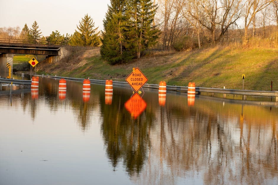
BOONVILLE, MISSOURI — Moderate flooding is occurring along Petite Saline Creek near Boonville and Big Creek at Blairstown as rising waters exceeded flood stage levels Sunday morning, prompting flood warnings from the National Weather Service.
The National Weather Service Kansas City/Pleasant Hill office issued a flood warning at 8:48 AM CDT on Sunday that remains in effect until Monday morning at 9:00 AM CDT. The warning affects Cooper County along Petite Saline Creek near Boonville.
At 7:30 AM CDT Sunday, Petite Saline Creek reached 19.7 feet, well above the 16.0-foot flood stage. The creek is forecast to crest at 20.1 feet Sunday afternoon before falling below flood stage just after midnight.
Highway Impacts Expected
The flooding has already begun affecting low-lying areas and transportation routes. At the current level of 19.7 feet, the creek has flooded U Highway about 4 miles southeast of Boonville, according to the weather service.
When waters reach 16.0 feet, low-lying woodlands and fields near the creek typically flood. The highway flooding threshold occurs at 19.5 feet, a level the creek has already surpassed.
Big Creek Also Rising
Meanwhile, Big Creek at Blairstown is approaching flood stage with waters at 18.4 feet as of 8:00 AM Sunday, according to a hydrologic outlook issued by the weather service. The creek’s flood stage is 20.0 feet.
Forecasters predict Big Creek will reach a maximum stage of 20.1 feet at 1:00 PM Sunday before beginning to recede. The creek is expected to drop to 19.8 feet by 7:00 PM Sunday and fall to 18.6 feet by 1:00 AM Monday.
Forecast Based on Rainfall Patterns
The National Weather Service based its hydrologic outlook on forecast rainfall for the next 24 hours and estimated runoff from earlier precipitation. Officials noted that actual crest levels may vary if rainfall or runoff differs from current projections.
The weather service warned that later statements and possibly additional warnings may be issued as more information becomes available about the developing flood situation.
Residents in affected areas are advised to avoid driving through flooded roadways and to monitor local conditions closely as the situation continues to develop through Monday morning.