Wind Advisory Expires as Coastal Georgia Faces High Surf Through Evening
Gusty winds subside in coastal Georgia counties while dangerous surf and fire weather concerns persist through Thursday evening.


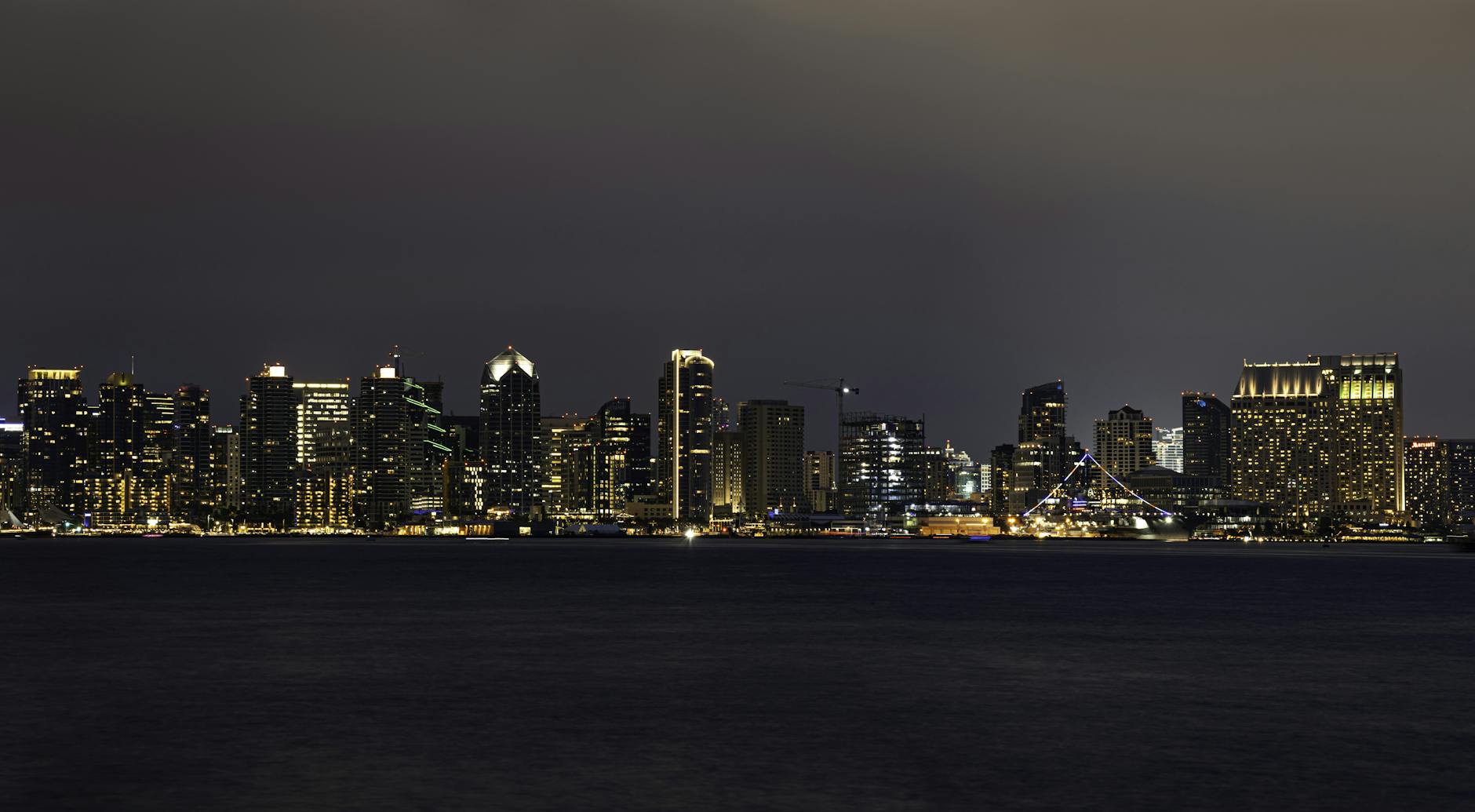
ATLANTA, GEORGIA — A Wind Advisory affecting parts of southeast Georgia expired at 5:00 AM Thursday morning, though coastal areas continue to face dangerous surf conditions and fire weather concerns through the evening, according to the National Weather Service.
The advisory, issued late Tuesday night by NWS Jacksonville, warned of northeast winds reaching 10 to 15 mph with gusts up to 30 mph across Coastal Camden and Coastal Glynn Counties. Officials cautioned that gusty conditions could blow around unsecured objects and potentially cause tree limb damage and scattered power outages.
High Surf and Rip Current Dangers Continue
While wind conditions have improved, coastal residents face ongoing hazards from large breaking waves ranging from 9 to 13 feet along Southeast Georgia and Northeast Florida beaches. The High Surf Advisory remains in effect until 8:00 PM Thursday evening, according to weather service reports.
Dangerous rip currents accompany the high surf conditions, creating treacherous swimming and surfing conditions along the coast. The National Weather Service warned that rip currents can sweep even experienced swimmers away from shore into deeper water, while large waves may cause localized beach erosion.
Fire Weather Concerns in Interior Counties
Inland areas of southeast Georgia faced elevated fire weather risks earlier in the day. A Red Flag Warning was issued for Coffee, Jeff Davis, Bacon and Appling counties from 2:00 PM to 8:00 PM Tuesday, citing critical fire weather conditions.
The warning highlighted northeast winds of 10 to 15 mph with gusts up to 30 mph, combined with relative humidity dropping as low as 26 percent and temperatures reaching 72 degrees. Officials warned that existing or newly ignited wildfires could exhibit erratic behavior, spread rapidly and become difficult to contain under these conditions.
Multiple Weather Alerts Tracked by Jacksonville Office
The National Weather Service Jacksonville office issued multiple overlapping advisories throughout the two-day period, tracking changing conditions across the region. Earlier wind advisories called for stronger northeast winds of 20 to 25 mph with gusts around 40 mph from Tuesday morning through midnight.
Coastal surf conditions have been monitored since Monday, with wave heights initially forecast at 7 to 13 feet before stabilizing at the 9 to 13 foot range through Thursday evening. The persistent high surf and rip current risks prompted continuous advisories spanning multiple days.
Residents in affected areas should secure loose outdoor items and avoid ocean activities during hazardous surf conditions. Those in fire-prone inland counties should remain alert to rapidly changing wildfire conditions and follow local emergency management guidance.