Mississippi River Flooding Affects Multiple Eastern Missouri Communities
NWS extends flood warnings for five Mississippi River locations in eastern Missouri as water levels continue rising above flood stage.
HANNIBAL, MISSOURI — The National Weather Service has extended flood warnings for five locations along the Mississippi River in eastern Missouri, with minor flooding currently occurring at all sites and additional rises expected through early next week.
The flood warnings, issued Tuesday at 9:36 PM CDT by the NWS St. Louis office, affect the Mississippi River at Saverton, Winfield, Hannibal, Clarksville, and Louisiana. All warnings remain in effect until further notice, according to the weather service.
Current River Levels and Forecasts
At Hannibal, the Mississippi River reached 17.6 feet as of 9:15 PM Wednesday, already above the 17.0-foot flood stage. The river is forecast to rise to 18.1 feet by Sunday evening, with additional rises possible thereafter.
“At 18.0 feet, the northern end of Southside Recreation #2 Park along Bear Creek begins flooding at this height. Gate wells are shut down to prevent the sewers from backing up. Also at this level pumps are set to standby,” the weather service reported.
In Clarksville, the river stood at 26.6 feet Wednesday at 9:00 PM, well above the 25.0-foot flood stage. Water levels are expected to reach 27.1 feet by Sunday morning.
Infrastructure Impacts Across Region
At Winfield, where the flood stage is 26.0 feet, the Mississippi River measured 26.4 feet Wednesday evening and is forecast to rise to 27.3 feet by Wednesday, April 22. At the 27.5-foot level, Lock and Dam 25 will stockpile 200 tons of sand, 12,000 sandbags, and 10,000 square feet of polyethylene plastic as a precautionary measure.
The Saverton location shows the river at 16.1 feet as of 6:00 PM Wednesday, above the 16.0-foot flood stage, with a crest of 16.8 feet expected early Monday morning. At 15.5 feet, an access road to riverside raised homes on the riverward side of the Sny levee begins to flood.
At Louisiana, the river reached 16.6 feet Wednesday evening, exceeding the 15.0-foot flood stage. A crest of 16.9 feet is forecast for early Sunday morning, which will flood the parking area at the boat house.
Additional Flood Watches Issued
The National Weather Service in Quad Cities has also issued flood watches for additional Mississippi River locations, including Gregory Landing, where flooding is possible beginning Saturday morning. At Gregory Landing, the river measured 14.2 feet Wednesday evening, approaching the 15.0-foot flood stage.
“Water affects buildings in unprotected low areas” when the Gregory Landing location reaches 16.0 feet, according to the weather service.
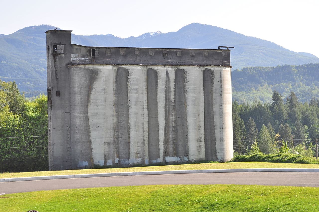
The flood forecasts are based on observed precipitation and forecast precipitation for the next 24 hours. River conditions at Clarksville will affect Silo Park just northwest of the city off Highway 79, which begins flooding at 27.2 feet.